
The 606 is an elevated trail built on an old railroad line on the Northwest Side. It runs for 2.7 miles through four neighborhoods: Logan Square, Humboldt Park, Bucktown and Wicker Park. Wicker Park and Bucktown, at the eastern end, are known for independent shops, cafes, music venues and grand old houses. A walk or ride along the trail followed by an afternoon in the neighborhoods is one of the best ways to see a side of Chicago most visitors miss.
Key takeaways
- The 606 runs 2.7 miles from Ridgeway Avenue to Ashland Avenue and opened in 2015.
- It has many access ramps, so you can join or leave it at several points.
- Wicker Park and Bucktown have the best shopping and food near the trail’s eastern end.
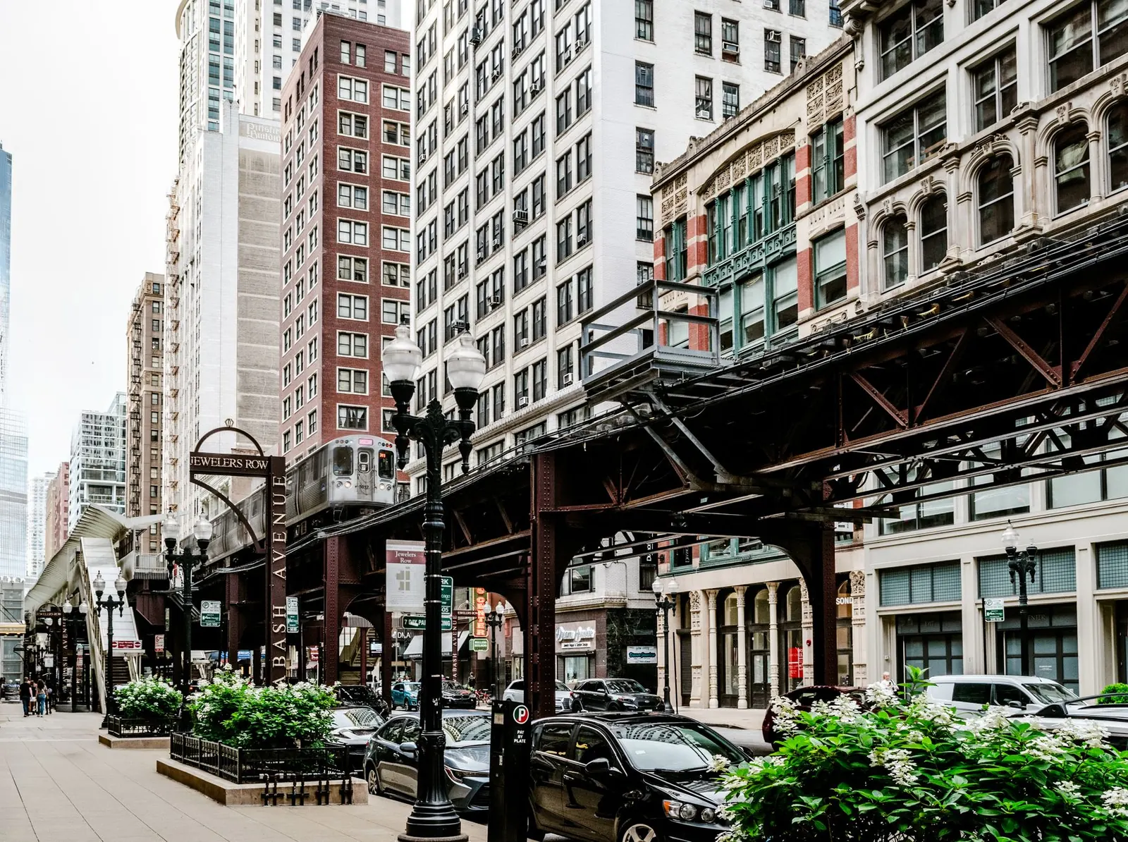
The 606 trail
The trail follows the path of a former freight rail line, also known as the Bloomingdale Line, raised above the street grid. Since opening in 2015 it has become a popular route for walkers, runners, cyclists and families with strollers. The raised trail lets you look into backyards and across rooftops, and several small parks sit at its access points. The name comes from the first three digits of the ZIP codes shared by the neighborhoods it connects.
The trail is narrow compared to the Lakefront Trail and gets busy on nice weekends. Cyclists share it with pedestrians, so ride slowly and be ready to stop. Early mornings are calmest.
Wicker Park
Wicker Park’s center is the six-way intersection of Milwaukee, North and Damen Avenues. The streets around it are packed with boutiques, record shops, bookstores, restaurants and bars. The neighborhood takes its name from a small triangular park a few blocks south, surrounded by large 19th-century houses built by wealthy merchants. A walk through these side streets is worth it for the architecture alone.
Bucktown
Just north, Bucktown is a little quieter and more residential, with cafes and shops along Damen Avenue. The 606 runs along its southern edge, and several access points drop you right into the neighborhood. It is a good place for a coffee break before or after the trail.
Humboldt Park and Logan Square
At the western end, the trail approaches Humboldt Park, a large park with a lagoon, a boathouse and a historic fieldhouse, and the heart of Chicago’s Puerto Rican community. North of the trail, Logan Square is known for its wide, tree-lined boulevards and a weekly farmers market. Either one can extend the day if you have the energy.
Suggested plan
| Time | Stop | Notes |
|---|---|---|
| Morning | Start at the western end of The 606 | Quiet trail, easy walk or ride east |
| Late morning | Bucktown | Coffee on Damen Avenue |
| Midday | Wicker Park | Lunch near Milwaukee, North and Damen |
| Afternoon | Wicker Park side streets | Historic houses and shops |
| Optional | Humboldt Park or Logan Square | Extra walking, parks and boulevards |
Tip: Walk the trail from west to east in the morning. You finish in Wicker Park just when shops and restaurants are opening up, and the sun is behind you for most of the walk.
Who this day suits
- People who like walking and exploring on their own.
- Shoppers looking for independent stores rather than chains.
- Families with strollers who want a car-free path.
Getting there
The CTA Blue Line has stations near both Wicker Park and Bucktown, and near Logan Square. Several bus routes cross the trail’s access points. Bike-share stations sit near several ramps.
Before you go
- Check for trail closures or maintenance notices.
- Plan where you will leave the trail; access ramps are spaced along the route.
- Weekend afternoons are busy on both the trail and the main streets.
When to go
The 606 is pleasant in every season, but it is busiest on warm weekend afternoons. Early mornings, especially in spring and fall, are the calmest times for a walk. Summer evenings are lively, with people heading to dinner in Wicker Park. In winter, the trail stays open, though snow and ice can make it slippery. If you are visiting for the shops, weekday afternoons are relaxed and most stores are open.
Common mistakes
Many people treat The 606 like a fast bike route. It is not; it is shared and narrow, and speeding makes it stressful for everyone. Another mistake is staying only on the main commercial streets and missing the quiet residential blocks of Wicker Park.
Frequently asked questions
How long is The 606?
The trail is 2.7 miles long, from Ridgeway Avenue on the west to Ashland Avenue on the east.
Can you bike on The 606?
Yes. Cyclists share the trail with walkers and runners. Ride slowly and give pedestrians space.
Why is it called The 606?
The name comes from 606, the first three digits of Chicago ZIP codes, reflecting the neighborhoods it connects.
For a longer ride, try the The Chicago Lakefront Trail, Section by Section. For another neighborhood day built around art and food, see Pilsen and Chinatown: Two Neighborhoods, One Walkable Day.